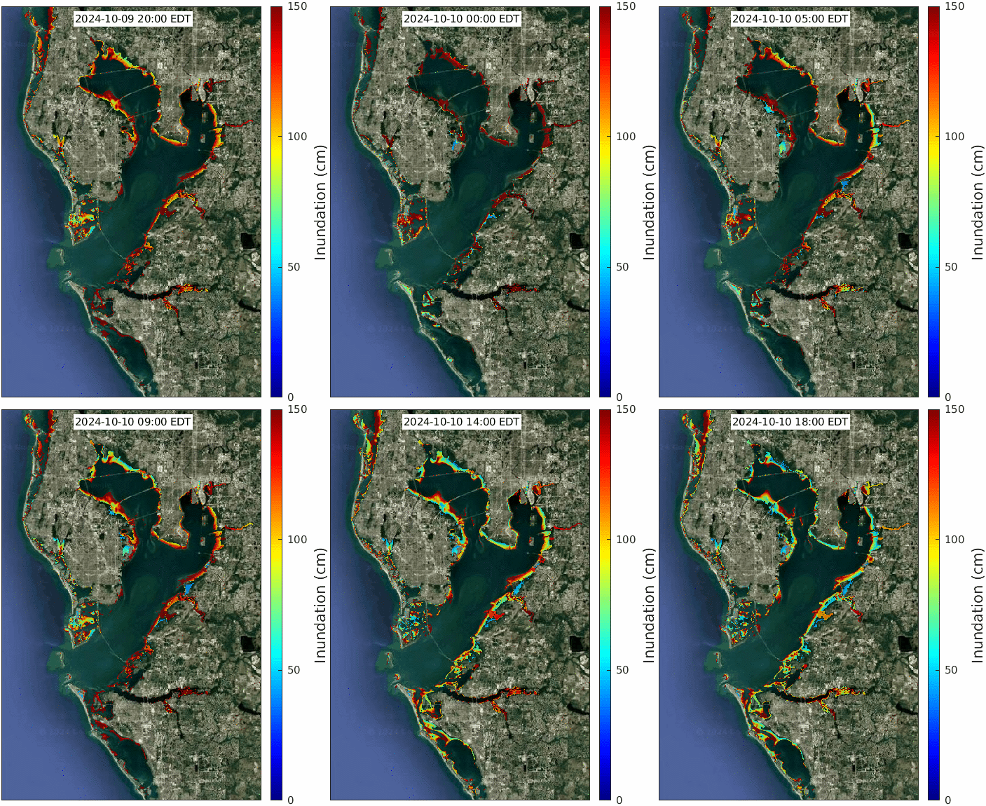
Experimental Inundation Forecast Guidance for Tampa Bay Region

The TBCOM_flooding model is an application of FVCOM for simulating coastal flooding in Tampa Bay and the nearshore land areas. It is nested within the larger West Florida Coastal Ocean Model (WFCOM), allowing for downscaling from the deeper Gulf of America, across the West Florida Continental Shelf, and into Tampa Bay. The animation above displays hourly maps of water level relative to land surface over a 1-day forecast model simulation cycle. Detailed predictions of flood inundation in various regions of the Tampa Bay area can be viewed in the following animations.
Disclaimer: The analyses/data are research products under development. No warranty is made, expressed or implied, regarding accuracy, or regarding the suitability for any particular application. All rights reserved: University of South Florida, College of Marine Science - Ocean Circulation Lab. Copyright, 2023.


